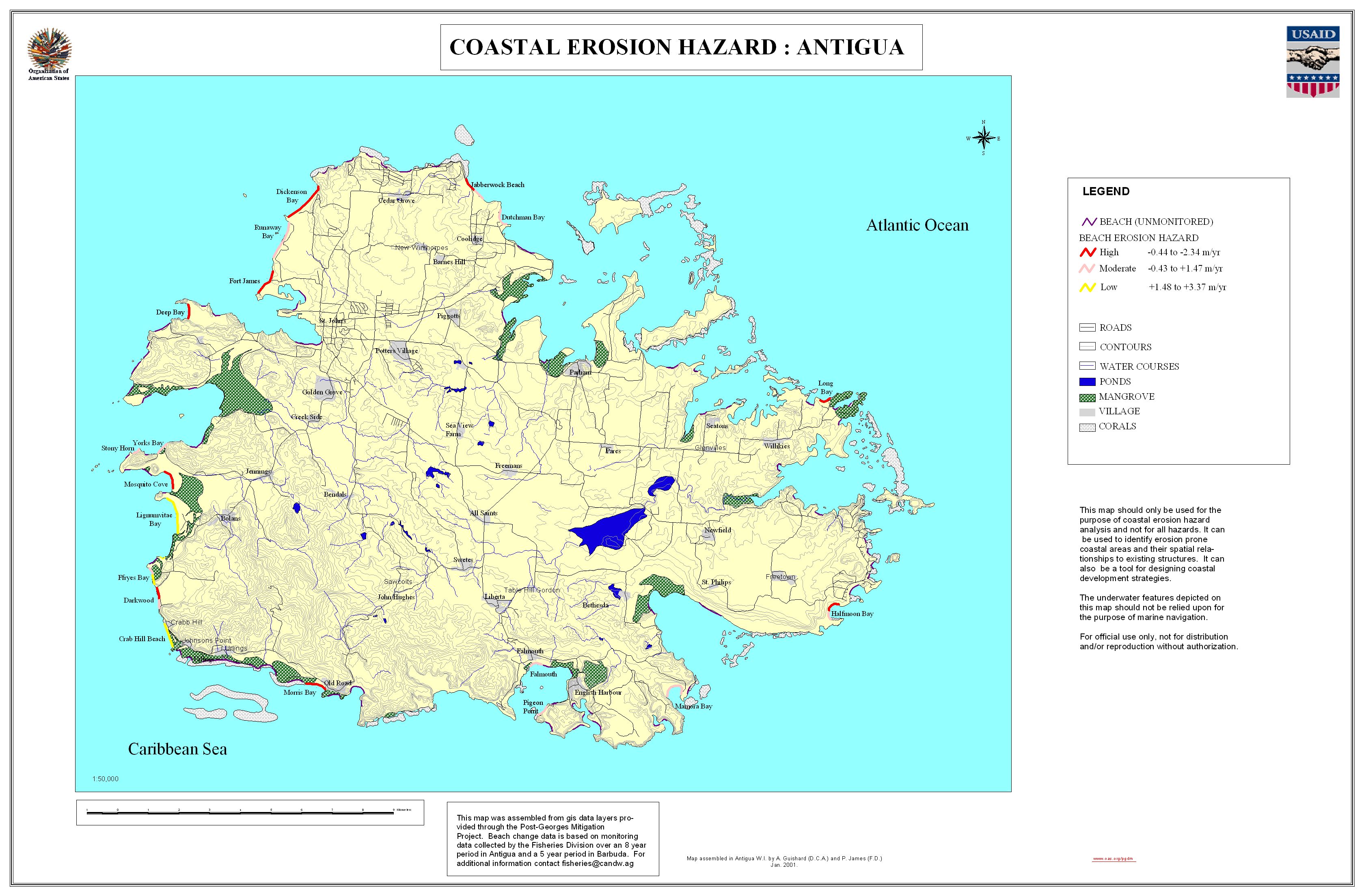

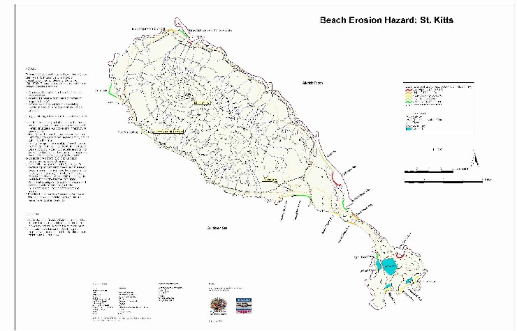
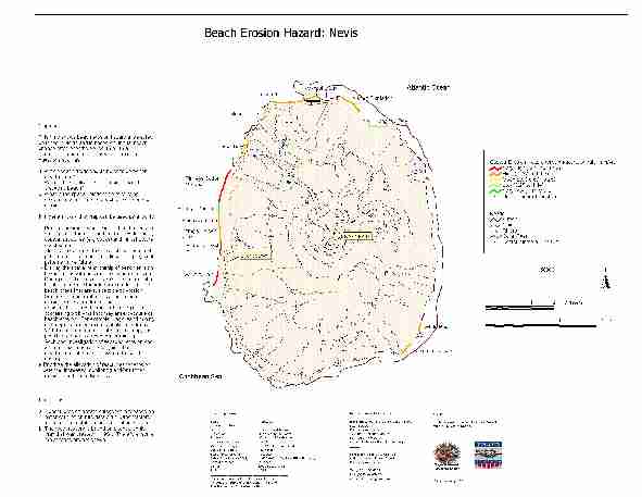
Beach Erosion Hazard Assessments have been completed under PGDM for Antigua, Barbuda, St. Kitts and Nevis. Both Technical and Summary reports on these hazard assessment are available by country and maps are available for each island. Individual beach erosion hazard maps were produced for each island. The scope of work for this activity is available in the Beach Erosion Hazard Assessment Terms of Reference.
| Antigua and Barbuda | St. Kitts and Nevis | |
| Summary Report | Antigua/Barbuda Summary (HTML 95k) | St. Kitts/Nevis Summary (HTML 350k) |
| Technical Report | Antigua/Barbuda Report (HTML 180k) | St. Kitts/Nevis Report (HTML 750k) |
| Beach Erosion Hazard Maps | Antigua Map
(JPG 1,030k) Barbuda Map (JPG 590k) |
St.
Kitts Map Nevis Map |
| Beach Erosion Hazard Shapefiles | Antigua Shapefiles (still to be posted) Barbuda Shapefiles (still to be posted) |
St.
Kitts Shapefiles (zip archive 13k) Nevis Shapefiles (zip archive 14k) St. Kitts/Nevis hazard zones: description (HTML page) | shapefiles (zip archive 42k) |
Related Links: Coastal erosion hazard assessment for the US (April 2000)
| USAID/OAS Post-Georges Disaster Mitigation: http://www.oas.org/pgdm | Page last updated on 03 Aug 2001 |